Montana, also known by the name of “Big Sky Country”, “ The Treasure State” and the “Last Best Place” is one of the most picturesque states in the US. It is mainly known for the breathtaking landscapes, diverse geography and stunning towns. The state covers an area of about 147,040 square miles. This is the fourth largest state of the United states. The unique features of the state range from mountains to plains making it a favourite destination for nature enthusiasts and adventurers. To know more about Montana Map, Cities, Waterbodies, Climate and Time Zone, check the post below.
Montana Map
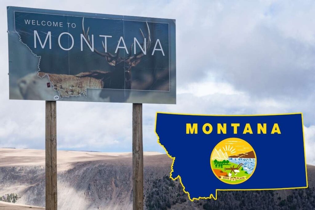
Montana is located in the Northwestern region of the USA. It shares its Northern Border with Canadian provinces British Columbia, Alberta and Saskatchewan. It is surrounded by Dakota state towards the north and South Dakota state on the eastern side, by Wyoming to the south and Idaho to the west. The Rocky Mountains dominate the western and central portions while the eastern part is majorly dominated by the prairies and rolling plains. The Montana Map is further divided into 56 counties. The geographical variety of the state is reflected by the state parks, national parks and landscapes.
USA Montana State Cities List
The state of Montana has about 128 cities in total. Some of the cities offering their unique experiences are listed below:
- Billings – The largest city in Montana, known for its strong economy and vibrant culture. The major attraction in the area is the Yellowstone National Park.
- Missoula – This is a small town surrounded by lush forests and rivers. It is a university town offering multiple outdoor adventures and cultural activities.
- Bozeman – The place provides proximity to the Big Sky resort and other thriving art scenes.
- Great Falls – The city is known for its stunning waterfalls along the Missouri River.
- Helena – This city is the state capital. The city is rich in mining history and home to landmarks such as Mount Helena.
- Butte – This city also offers historical architecture and landmarks.
Water Bodies in Montana
| Water Bodies | Locations |
| Rivers | Missouri RiverYellowstone RiverClark fork River |
| Lakes | Flathead LakeWhitefish LakeHebgen LakeFort Peck Lake |
| National Parks & Waterfalls | Glacier national ParkMcDonald LakeSt. Mary LakeVirginia Falls |
Climate & Time Zones of Montana
Montana is entirely within the Mountain Standard Time or the Mountain Time Zone (MT). The time zone is 7 hours behind the UTC-7. From March to November daylight Saving Time is observed, during that time clocks are set forwards to UTC-6 . This aligns Montana with Colorado and parts of Idaho.
The state generally faces warm summers and cold winters. Further, the climate varies with the region of the state.
- Western Montana – Milder climate due to the Pacific ocean. The state has wet winters and cooler summers.
- Eastern Montana – This part of the state experiences more extreme temperatures with snowy winters and hot, dry summers.
- Mountain Areas – Higher elevations experience heavy snowfall and cool summers making it an ideal location for winter sports and summer hiking.
FAQs Montana Map, Cities List, Waterbodies, Climate, Time Zone
Monmtana is also known by the name of “Big Sky Country”
Montana covers an area of about 147,040 square miles.
There are different water bodies such as glacial lakes, waterfalls and rivers in Montana.
