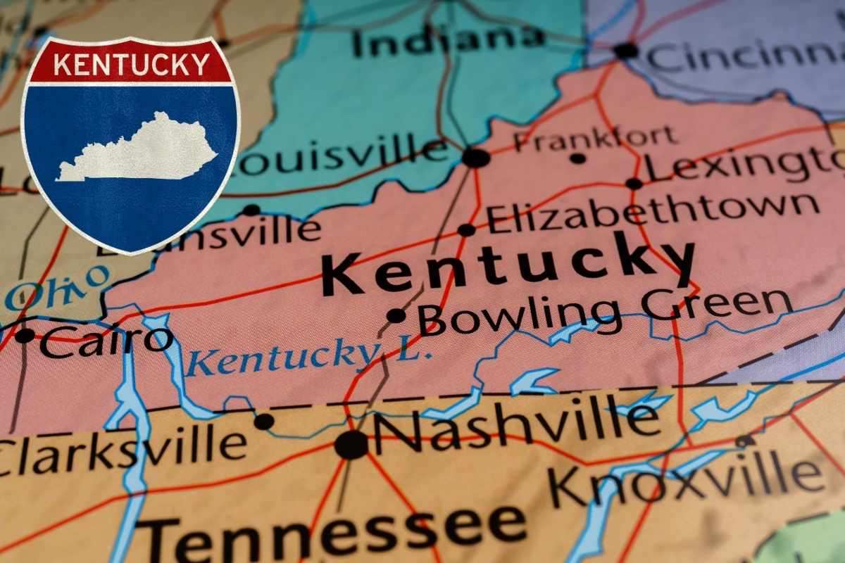
Kentucky, which is a landlocked state in the Southeastern United States, is formally known as the Commonwealth of Kentucky. Illinois, Indiana, and Ohio are its northern neighbors; West Virginia is to the northeast; Virginia is to the east; Tennessee is to the south; and Missouri is to the west according to Kentucky State Map. The Ohio River delineates its northern boundary. The capital city is Frankfort, and Louisville holds the title of the most populous city. As of 2024, the estimated population of the state is around 4.54 million. On June 1, 1792, Kentucky, which had previously been a portion of Virginia, became the fifteenth state to enter the Union. There are multiple Tourist Places In Kentucky which can be visited by the tourists in United States. The state’s nickname, “Bluegrass State,” alludes to Kentucky bluegrass, a grass brought to the state by European immigrants that has long supported the thoroughbred horse business.
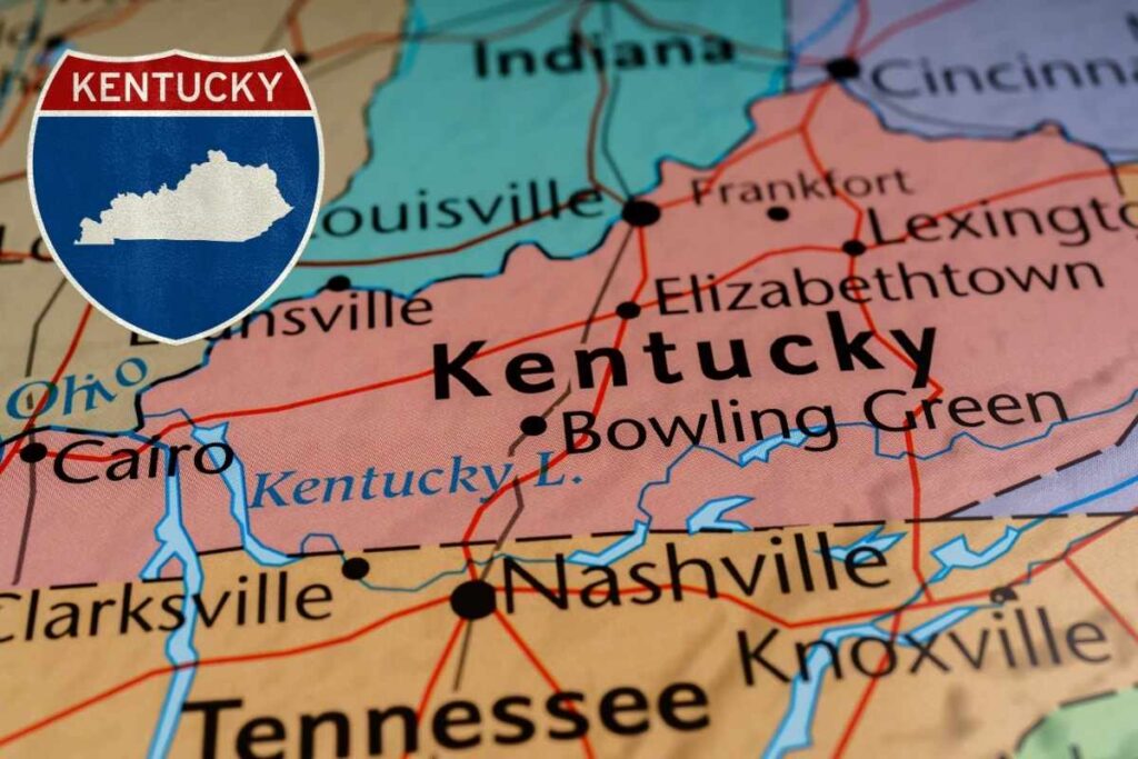
Kentucky State Map
Kentucky’s rich soil in the central and western regions enabled extensive tobacco plantations, historically reliant on enslaved labour before the Thirteenth Amendment. In order to find about important places, you must go through the Kentucky State Map. The state is ranked eighth in the production of beef cattle, fifth in the production of goats, and fifteenth in the production of corn. While tobacco has been a significant industry, Kentucky’s economy has diversified into automobile manufacturing, energy production, and healthcare, ranking fourth in the US for vehicle assembly. Kentucky is also the location of the two oldest artificial lakes east of the Mississippi, the longest cave system in the world, and the greatest navigable river network in the contiguous United States. College basketball, Kentucky Fried Chicken, bluegrass music, coal mining, horse racing, bourbon, moonshine, and Southern cuisine are all part of its cultural legacy.
Kentucky Map With Cities
| About | Kentucky Map With Cities |
| Country | USA |
| State | Kentucky |
| Capital | Frankfort |
| Population (as of 2024) | 4.54 Million |
| Largest city | Louisville |
| Governor | Andy Beshear |
| Language | English |
| Admitted to the Union On | June 1, 1792 |
| Category | Maps |
Cities In Kentucky State
The number of Cities In Kentucky State is 418. The ten most visited cities in Kentucky are as follows:
1. Louisville: 773,518
2. Lexington: 323,152
3. Bowling Green: 72,894
4. Owensboro: 59,404
5. Covington: 40,671
6. Richmond: 35,397
7. Henderson: 28,757
8. Hopkinsville: 31,557
9. Florence: 31,953
10. Elizabethtown: 29,533
Tourist Places In Kentucky
Following are some of the Tourist Places In Kentucky which can be visited by the Tourists.
- Mammoth Cave National Park: The longest cave system in the world and park provides guided tours through its vast underground networks.
- The Louisville Slugger Museum & Factory: Guests can explore the factory, delve into the history of baseball, and even create a personalized bat to take home.
- Churchill Downs Kentucky Derby Museum is also found in Louisville. As the venue for the prestigious Kentucky Derby, Churchill Downs hosts horse racing events throughout the year and features historical exhibits.
- Red River Gorge: The Daniel Boone National Forest’s Red River Gorge is a stunning natural setting in Eastern Kentucky. It provides a range of activities, including hiking, rock climbing, ziplining, and camping, and is celebrated for its stunning sandstone arches and cliffs.
- The Kentucky Bourbon Trail spans various locations across the state, highlighting Kentucky’s rich bourbon heritage. This trail includes visits to distilleries, where guests can learn about bourbon production, explore historic sites, and sample a variety of the state’s signature spirits.
- Cumberland Falls State Resort Park: The park offers hiking trails, rafting, and camping opportunities for outdoor enthusiasts.
- Shaker Village of Pleasant Hill, located in Harrodsburg, is a restored 19th-century Shaker community that allows visitors to immerse themselves in the Shaker way of life through historic buildings, demonstrations, and live exhibits.
- The National Quilt Museum, situated in Paducah, is an essential destination for quilting aficionados. This museum features exquisite quilts from around the globe and provides educational exhibits and workshops.
- Horse Country Tours: The headquarters of Horse Country Tours are located in Lexington, which is recognized as the “Horse Capital of the World.”
Unknown Facts About Kentucky
- The longest cave in the world, Mammoth Cave National Park, is located in Kentucky, sometimes referred to as the “Bluegrass State” because of its perfect grazing grass.
- Eastern Kentucky is famous for its country music heritage, leading to the ‘Country Music Highway.’
- The capital, Frankfort, is located between Lexington and Louisville, the latter along the Ohio River.
- Numerous Native American tribes lived in the region before the arrival of European immigrants in 1769.
- Middlesboro is uniquely built within a meteorite crater, and Lexington hosts the world’s largest peanut butter production facility, making 15 varieties.
FAQs On Kentucky State Map
According to predictions from 2024, roughly 4.54 million people are living in Kentucky.
In Kentucky, there are 418 thriving cities.
